


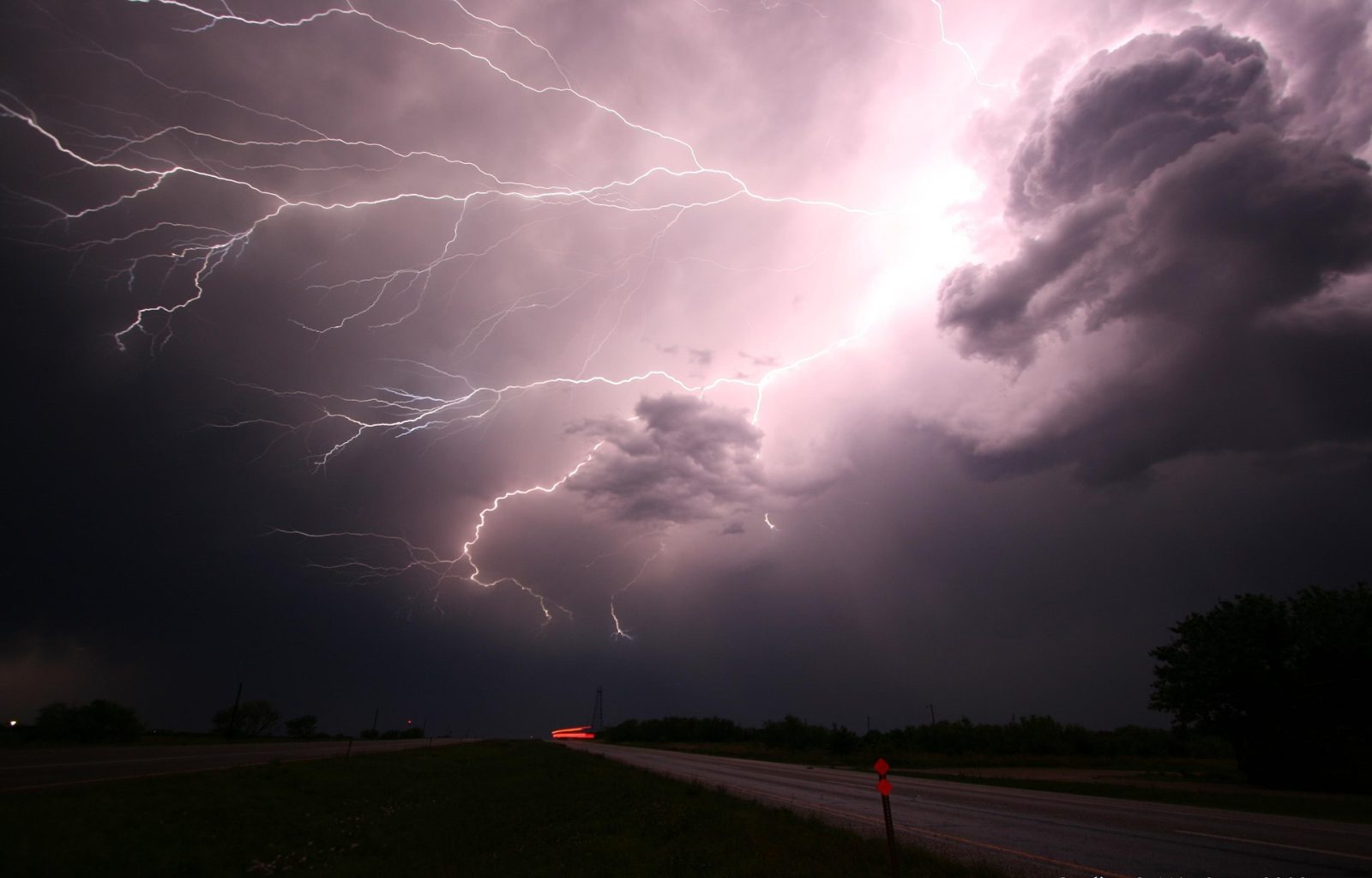
The South African Weather Service has issued a high-impact weather alert for Thursday, 30 April 2026, as a cut-off low pressure system moves across the central parts of the country.
Residents in several provinces are being urged to prepare for heavy rain, strong winds and possible flooding.
ALSO READ: South Africa Weather Warning: Thunderstorms and Cold Front This Weekend
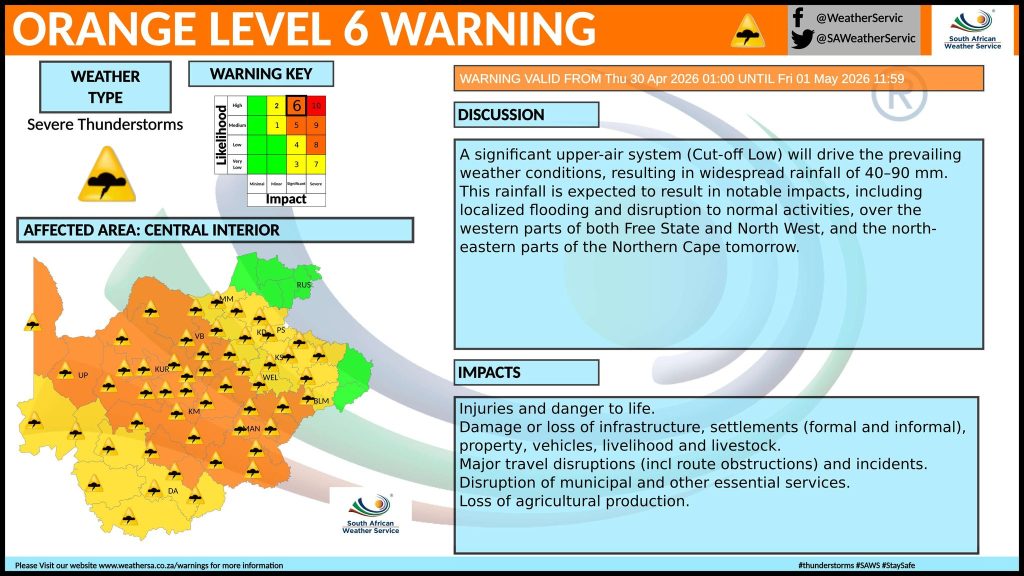
Orange Level 6 warning in place
An Orange Level 6 warning for severe thunderstorms has been issued, indicating a high risk of disruptive weather conditions.
Expected impacts include:
- heavy downpours between 40mm and 90mm
- damaging winds
- hail in some areas
Areas affected
The warning applies to:
- western parts of the Free State
- parts of the North West
- north-eastern areas of the Northern Cape
These regions are likely to experience the most intense conditions during the day.
Key risks to residents
Authorities have highlighted several potential dangers linked to the storm system.
- localised flooding of roads and low-lying areas
- damage to homes and infrastructure
- disruptions to transport and travel
Informal settlements are considered particularly vulnerable during heavy rainfall events.
What is causing the weather
The severe conditions are linked to a cut-off low pressure system, which typically brings prolonged rain and unstable weather patterns.
These systems are known for producing:
- extended rainfall
- sudden storm development
- shifting weather conditions across regions
What residents should do
People in affected areas are advised to take precautions.
- avoid unnecessary travel
- secure loose outdoor items
- stay clear of flooded roads and rivers
- monitor updates from official weather channels
The bottom line
The latest warning signals a period of disruptive weather across central South Africa.
Residents should remain alert and take early action to reduce risk as conditions develop.





Related Articles

Mpho Popps to Host 2026 Content Creator Awards
Mpho “Popps” Modikoane will host the 2026 Content Creator Awards, bringing his...
Rassie Names Springbok Team to face All Blacks
Rassie Erasmus has named his Springbok team for the opening Rugby’s Greatest...

Volkswagen Opens Pre-Orders for New T-Roc in South Africa
Volkswagen has opened pre-orders for the second-generation T-Roc ahead of its South...


European Film Festival SA Returns With 12 Acclaimed Films
The European Film Festival South Africa returns for its 13th edition from...
