


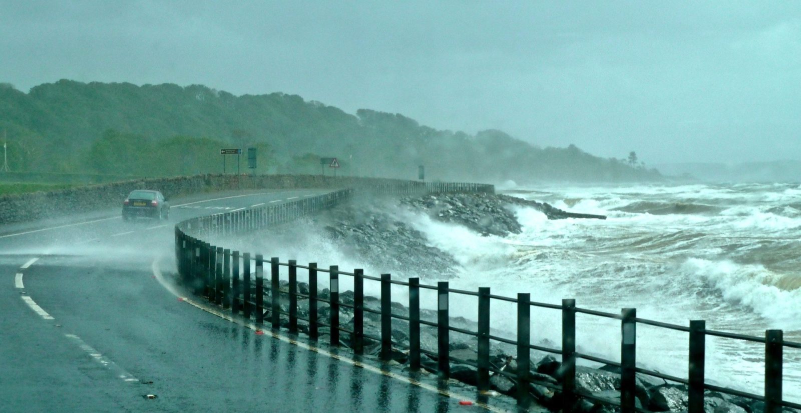
A cold front is expected to reach the Western and Northern Cape on Sunday, bringing cold to very cold temperatures, rain, strong winds and rough seas.
The South African Weather Service said snowfall is expected over mountainous areas as the system moves across the country.
The conditions will spread into the Eastern Cape as the cold front travels eastwards.
Weather system deepens on Monday
The cold front is linked to a steep upper-air trough.
On Monday, 10 August 2026, the trough is expected to deepen as it moves across the central and eastern parts of South Africa.
Cold to very cold temperatures, rain and showers will extend further inland.
Scattered to widespread rain and showers are forecast over the southern parts of the country.
Snow expected in several provinces
Snow is expected over mountainous parts of:
- The Free State
- KwaZulu-Natal
- Mpumalanga
There is a low probability of light snow in other higher-lying areas.
SAWS said confidence remains highest for snowfall over the mountain ranges in the three identified provinces.
Flooding and damaging winds possible
Persistent rainfall may cause localised flooding in low-lying areas, informal settlements, roads and bridges.
Damaging winds could result in:
- Fallen trees
- Roof and infrastructure damage
- Power interruptions
- Dangerous driving conditions
Rough seas and cold conditions expected
Damaging waves and rough seas may affect coastal infrastructure and maritime activities.
The very cold weather may increase the risk of exposure among vulnerable communities and place livestock under stress.
Snow on mountain passes could also make travel dangerous, close roads and disrupt transport.
SAWS urges public to follow warnings
“We encourage the public, motorists, farmers, and disaster management authorities to remain informed by following updates and warnings issued by the South African Weather Service and to take the necessary precautions as this weather system progresses across the country.”








Related Articles
SA weather warning: Level 6 rain alert as flooding and snow threaten parts of the country
South Africans are being warned to prepare for dangerous weather, with an...

Jill Scott heads to South Africa after Billboard R&B Hall of Fame honour
Jill Scott is heading to South Africa this November with another major...

Macklemore dropped from Ed Sheeran tour after ‘Free Palestine’ comments
Rapper Macklemore has been dropped from the remaining US dates of Ed...



Chronic stress may be affecting your blood sugar, weight and heart health
Stress might show up as poor sleep, irritability or feeling overwhelmed, but...
