


The South African Weather Service has issued critical severe weather warnings for parts of the Western Cape and Eastern Cape as a dangerous cut-off low-pressure system moves across the country.
The warning comes as “severe weather” continues trending across South Africa, with growing concerns over flash flooding, mudslides, rising river levels and major travel disruptions.
While Cape Town is expected to see a mix of sunshine and cloud cover, surrounding regions face significantly more dangerous conditions.
ALSO READ: Eden and Central Karoo schools close as heavy rain lashes region
SAWS Issues Orange Level 8 Warning as Deadly Cold Front Hits South Africa
SAWS issues Orange Level 8 warning for Garden Route
SAWS has activated an Orange Level 8 warning for disruptive rain affecting eastern parts of the Garden Route.
Forecasters warn that torrential downpours between 120mm and 200mm are expected in some areas, creating an extremely high flood risk.
Authorities say the storm system could trigger:
- flash flooding
- overflowing rivers
- mudslides
- infrastructure damage
- road closures
- flooding of homes and settlements
Emergency services are closely monitoring flood-prone regions as rainfall intensifies.

Yellow Level 4 warning for Central Karoo and Swellendam
A Yellow Level 4 warning for disruptive rain has also been issued for parts of the Central Karoo and Swellendam Municipality.
Affected areas include:
- Beaufort West
- Laingsburg
- Swellendam
- surrounding interior regions
Rainfall totals between 50mm and 90mm are expected.
SAWS warns that already saturated ground conditions from previous storms increase the danger of flooding and infrastructure damage.
Very cold and windy conditions expected
Alongside the heavy rainfall, SAWS has issued a weather advisory for very cold and windy conditions across parts of the Western Cape and Eastern Cape.
Officials warn the combination of persistent rain, low temperatures and strong winds could worsen conditions for vulnerable communities and travellers.
Mountain passes and low-lying roads remain especially at risk.

Cape Town avoids worst of storm system
Although the broader province faces severe warnings, Cape Town itself is currently expected to avoid the worst impacts of the system.
The Mother City is forecast to experience:
- periods of sunshine
- cloudy intervals
- cooler temperatures
- isolated showers
However, weather experts caution conditions may still change quickly depending on the movement of the cut-off low system.
What is a cut-off low-pressure system?
A cut-off low is a slow-moving weather system known for producing prolonged rainfall, severe storms and cold weather outbreaks.
These systems are responsible for some of South Africa’s most destructive winter weather events, particularly across the Western Cape and Eastern Cape.
Because they move slowly, rainfall can accumulate rapidly over several days, significantly increasing flood risks.
Residents urged to stay alert
Authorities are urging residents in affected regions to:
- avoid flooded roads and bridges
- delay unnecessary travel
- monitor official SAWS updates
- prepare for possible flooding disruptions
- remain cautious near rivers and mountain areas
Motorists travelling through the Garden Route and Karoo regions have also been advised to monitor road conditions carefully.
The bottom line
SAWS warns that the current severe weather system could bring dangerous flooding and major disruption across parts of the Western Cape and Eastern Cape over the coming days.
With severe weather rapidly trending across South Africa, officials are urging residents to remain alert and take warnings seriously.





Related Articles

Caravan chocolate is back in South Africa, but only for a limited time
Remember Caravan? The chocolate bar that disappeared from South African shelves is...

South Africa gets an extra public holiday: What you need to know about 4 November
South Africans will get an extra public holiday in November after President...
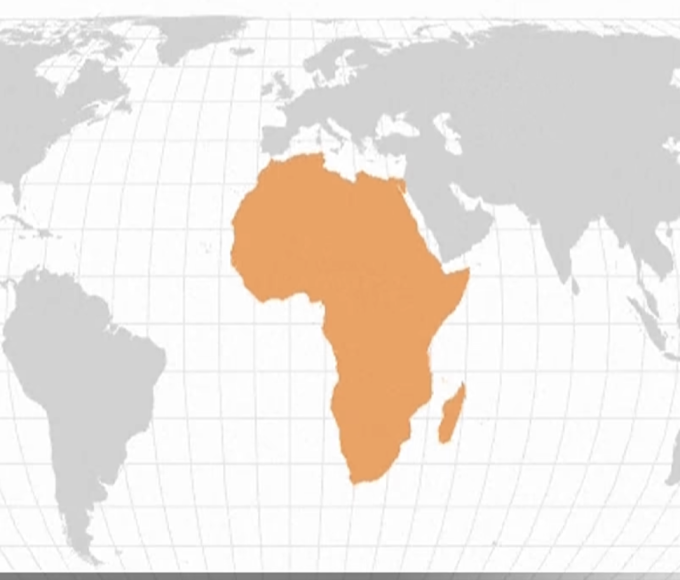
UN backs push to correct world maps that make Africa look smaller
The United Nations General Assembly has overwhelmingly backed an African-led push for...



Airlink responds to safety concerns over viral DHL Stadium flyover
Airlink has responded to concerns over its dramatic formation flyover above Cape...
